
-
{{ item.quantity }}
Brisway History
How it all began
After the success of Melway and Sydway in their respective cities it was natural that Brisbane and South East Queensland was the next area deserving of a street directory with the Ausway standard. In 1995, soon after the launch of Sydway, the planning for the Brisway (BRISbane’s WAY) commenced. The map coverage was drawn up and base mapping acquired. In 1997 Brisway field researchers then commenced the job of surveying every road and collecting all the data that is necessary to produce a world class street directory. Seven years later after the continued efforts to keep track of the urban growth of the SEQ area, the Brisway was ready to be printed and released.
Like the Melway and Sydway, Brisway is the most advanced, accurate, up to date and comprehensive street directory produced anywhere in the world and its success is due to the dedication and innovation of the Ausway Group.
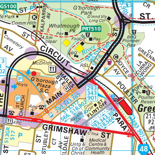
The Brisway maps not only show in colour the total SEQ road network but also include a wealth of additional information such as schools, shops, churches, police stations, traffic lights, public telephones and hospitals just to name a few.
Brisway Grid references are now widely used by companies and organisations to assist clients and customers locating their premises.
Each new edition of Brisway is completely updated and revised and additional pages of maps and information are included. Brisway is wholly owned, produced and manufactured in Australia.