


-
{{ item.quantity }}
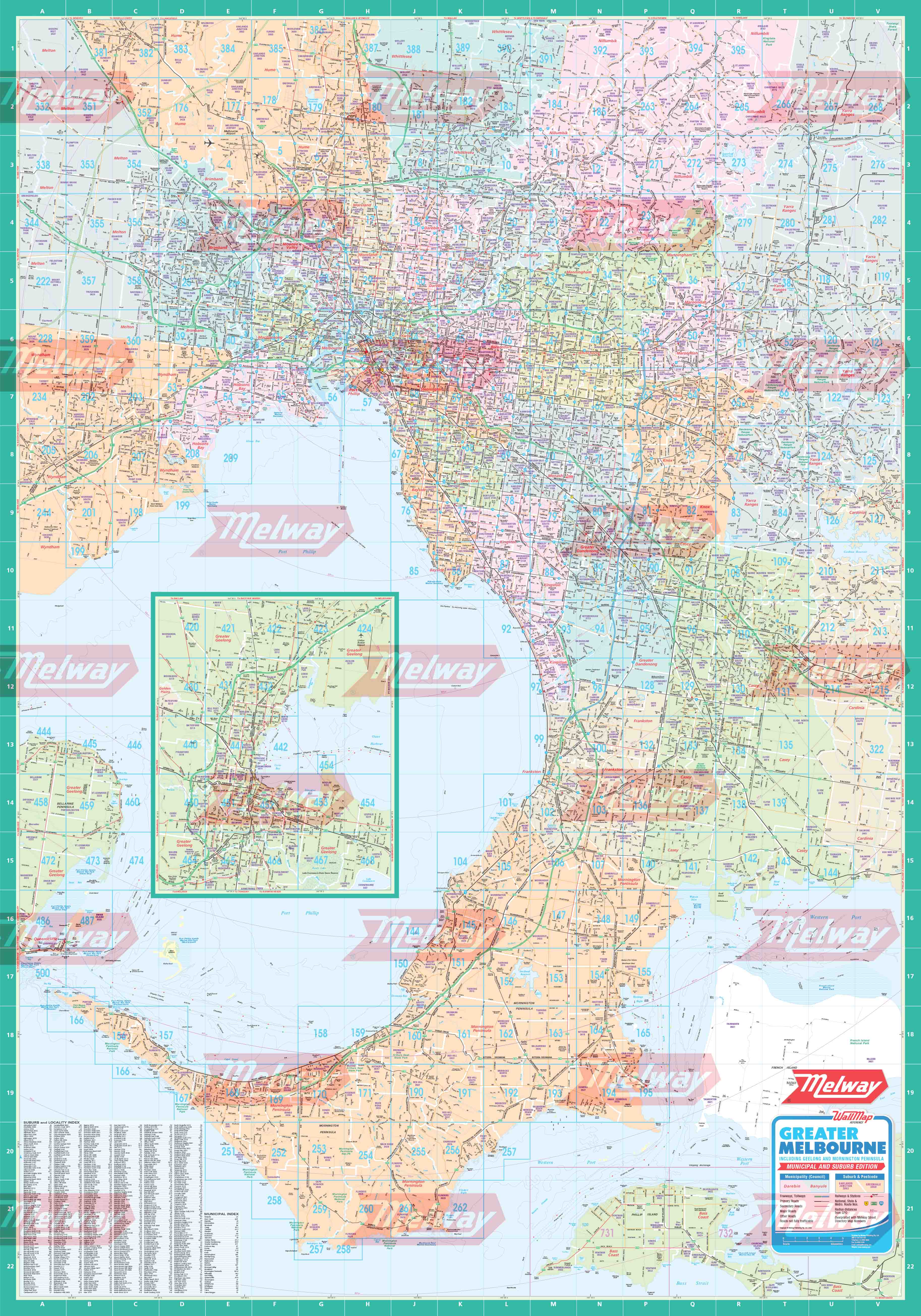
Melway Municipal WallMap - Rolled
Melway WallMap of Greater Melbourne – Municipal and Suburban Boundaries Edition
Melway WallMap of Greater Melbourne – Municipal Edition
Up to date wallmap of greater Melbourne covering the area from Sunbury to Yarra Glen and Portsea to Tooradin. Map 234 is at the western edge of the map, map 123 to the east and map 389 to the north. All of the Mornington Peninsula is shown and the Geelong area is included as an inset.
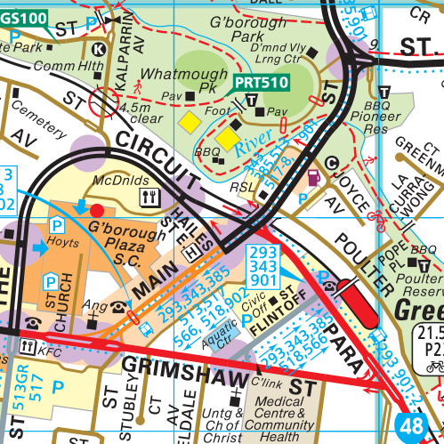
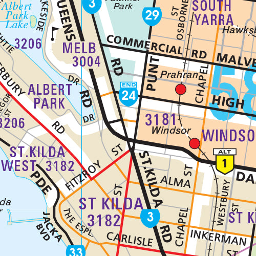
This wallmap includes radius lines with distance intervals from the GPO. It is overprinted with Melway Street Directory Map Numbers and has an index of suburbs with postcodes.
This Municipal version also includes clear identification of all municipal boundaries and suburb boundaries, with names and postcodes shown on the map.
Our wallmaps come on high quality paper or laminated for extra protection. Custom sizes can also be supplied upon request. Please phone 1300 MELWAY or email custommaps@melway.com for a quote.
Size 1020mm (w) x 1460mm (h) - Scale 1:75 000