-
{{ item.quantity }}
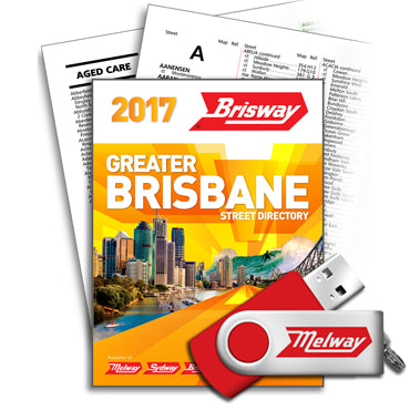
Brisway 2017 Images and Indexes
Edition 8 of the Brisway Street Directory Images & Indexes were released in March, 2016.
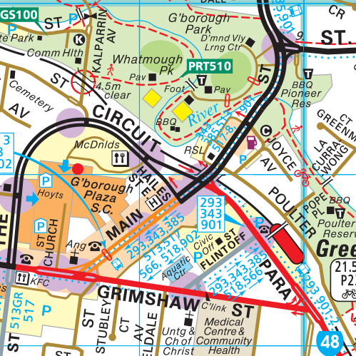
Covering the greater Brisbane area plus the Gold Coast and Sunshine Coast, the data includes every map in the Brisway reproduced as a 200dpi, 256 colour, geo-referenced TIF image with open format headers (HGR & TFW) and proprietary headers (TAB & ERS).
The Indexes used to create the Brisway are included in DBF, DLM and SDF format.
The data is sold as Private or Internal Use for companies with LESS THAN 10 employees. For use in companies of 10 OR MORE employees, please enquire with the sales team via email or phone.
The data will be able to be downloaded by the next business day via a data transfer program. NOT FOR RE-SALE
For more information on the format of the mapping and data please click here


