-
{{ item.quantity }}
- Home /
- Products
Products
Filter
Melway 2024 Edition 50 Images...
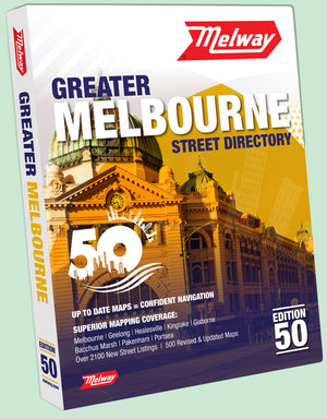
Melway 2024 Edition 50 Images and Indexes Edition 50 of the Melway Street Directory Images & Indexes were released in August 2023 Covering the greater Melbourne area plus the Mornington...
Regular price
$945.00
MELWAY, the most comprehensive street...
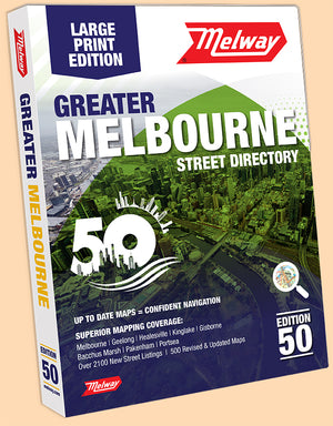
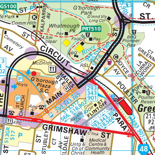
MELWAY, the most comprehensive street directory available of the Greater Melbourne area, has a coverage extending from Wandong, Wallan, Kalkallo, Whittlesea and Kinglake in the north to the Mornington Peninsula...
Regular price
$71.95
MELWAY, the most comprehensive street...
MELWAY, the most comprehensive street directory available of the Greater Melbourne area, has a coverage extending from Wandong, Wallan, Kalkallo, Whittlesea and Kinglake in the north to the Mornington Peninsula...
Regular price
$149.95
Banyule Council WallMap is compiled...
Banyule Council WallMap is compiled from the blue border maps in the latest Melway, showing the municipality boundary. Banyule Council WallMap is compiled from the blue border maps in the...
$138.00
Bass Coast Council WallMap is...
Bass Coast Council WallMap is focused on Phillip Island. Bass Coast Council Wall Map is compiled from the purple border maps in the latest Melway. Bass Coast Council WallMap is...
$160.00
Bayside Council WallMap is compiled...
Bayside Council WallMap is compiled from the blue border maps in the latest Melway, showing the municipality boundary. Bayside Council WallMap is compiled from the blue border maps in the...
$138.00
Boroondara Council WallMap is compiled...
Boroondara Council WallMap is compiled from the blue border maps in the latest Melway, showing the municipality boundary. Boroondara Council WallMap is compiled from the blue border maps in the...
$138.00
Brimbank Council WallMap is compiled...
Brimbank Council WallMap is compiled from the blue border maps in the latest Melway, showing the municipality boundary. Brimbank Council WallMap is compiled from the blue border maps in the...
$187.50


